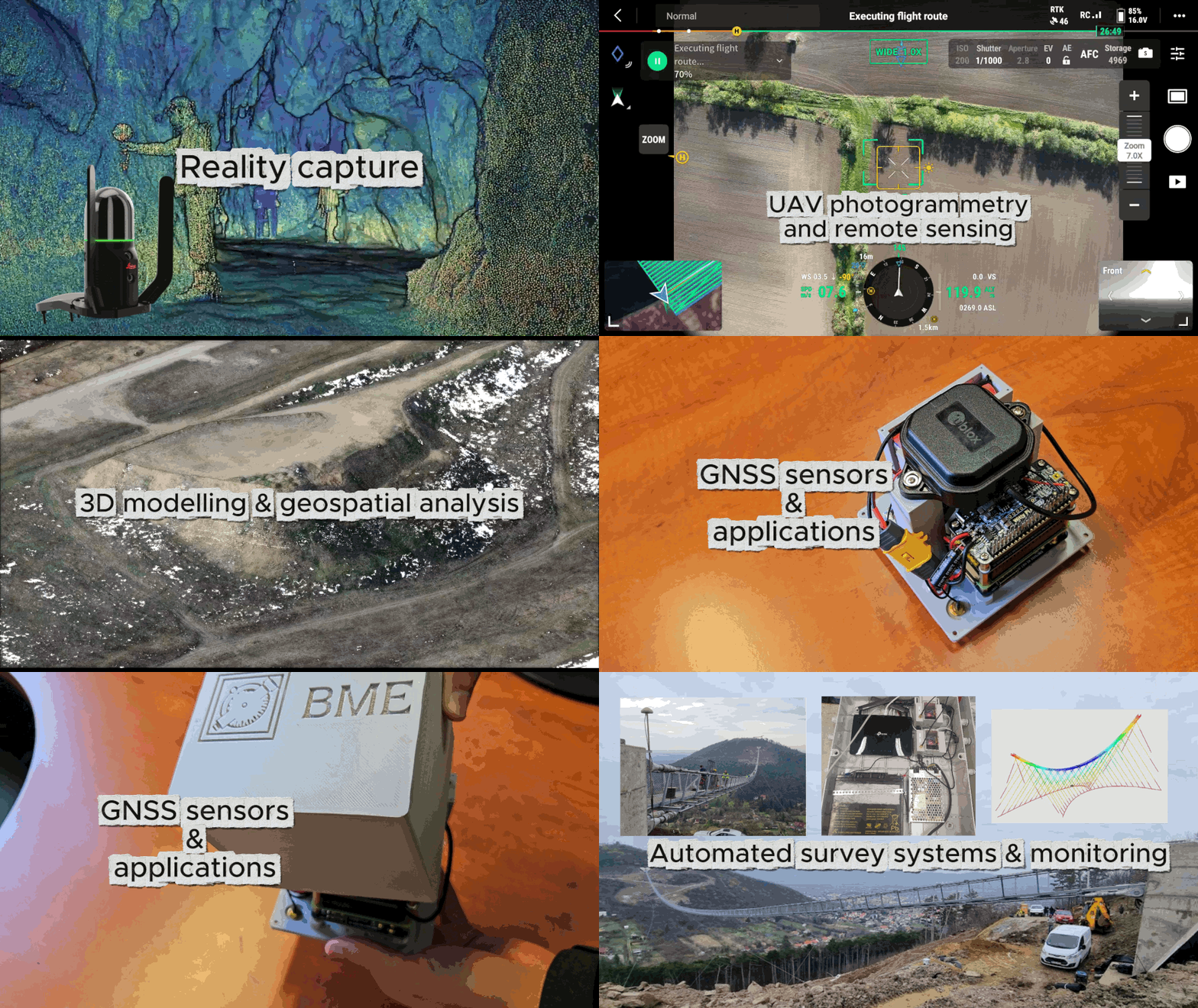
Are you an enthusiastic surveyor, GIS specialist or geodesist? Are you interested in satellite positioning systems, land management or remote sensing? You are at the right place! BME offers an MSc program in Land Surveying and GIS Engineering, where you can gain cutting edge knowledge in UAV and mobile mapping, automated surveying systems, satellite positioning techniques and their applications. Automated geodetic monitoring systems, geospatial data analysis, 3D objects modelling and build digital twin, everything you need to be an expert in geospatial science! This course enables You to the apply geodetic and remote sensing techniques for Earth observation to monitor our planet, climate change or mitigating natural hazards and help to understand the dynamics of the Earth system.
Prerequisites: Certificate of BSc in Civil Engineering (full credit approval), other certificates based on their curricula: BSc in Land Surveying, in Geomatics Engineering, in Geospatial Engineering or similar certificates
Evaluation of Applications:
– competences: quality of BSc degree, BSc transcript, obtained credits in the field of Land Surveying and GIS,
– additional aspects: motivation letter, extra-curricular activities
– if required: online written admission test and/or interview.
You can study at BME with a scholarship or as a self-funded student, by paying tuition fees. Various scholarships help you cover tuition fees and your living expenses during your studies. Successful PhD students may receive additional support from research grants.
Graduated engineers are able to independently carry out the technical development, research, management, and project management tasks of land surveying and GIS engineering, primarily related to geoinformatics, IT technologies, mapping, localisation, geophysics, and adjustment calculations.
Mathematics, Physics, Numerical Methods, Database Systems
Geophysics, Land Management, Adjustment calculations, Digital Earth
Accounting, Controlling, Taxation, Corporate Finance, Engineering Ethics
GNSS Theory and Applications, Information Technologies, Automated Surveying, Applied Geoinformatics, Mapping Technologies
Physical Geodesy and Gravimetry, Geodetic Networks and Projections, Intelligent Transportation Systems, ITS Geoinformatics
Master Thesis Project
Graduated engineers have the appropriate knowledge to lead the surveying and mapping activities in construction sites, municipalities, land registry, etc. Furthermore, they have a solid background in geodetic surveys, in GNSS infrastructure and its applications. Land Surveying and GIS engineers are able to design automated sensor systems for geodetic monitoring, have experiences in IT as well as in Geographical Information Systems. They are able to analyse geospatial data and support the decision making in location based problems.
Possible career roles: lead surveyor, geodetic surveyor, GIS developer, GIS analyst, geospatial data manager, land management and land registry expert, geodetic monitoring system designer/developer, remote sensing expert, navigation system developer, etc.

